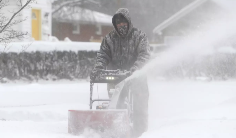
The National Weather Service has encouraged people to ‘prepare’ adequately for ‘an Arctic air mass’ that is anticipated to ‘plunge into the Central US this week.’.
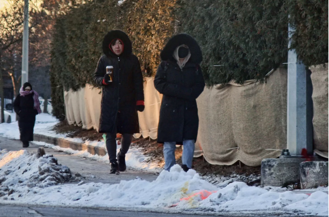
You may have thought you’d made it through winter, but more cold weather, and not just cold, but record-breaking temperatures, is on the way.
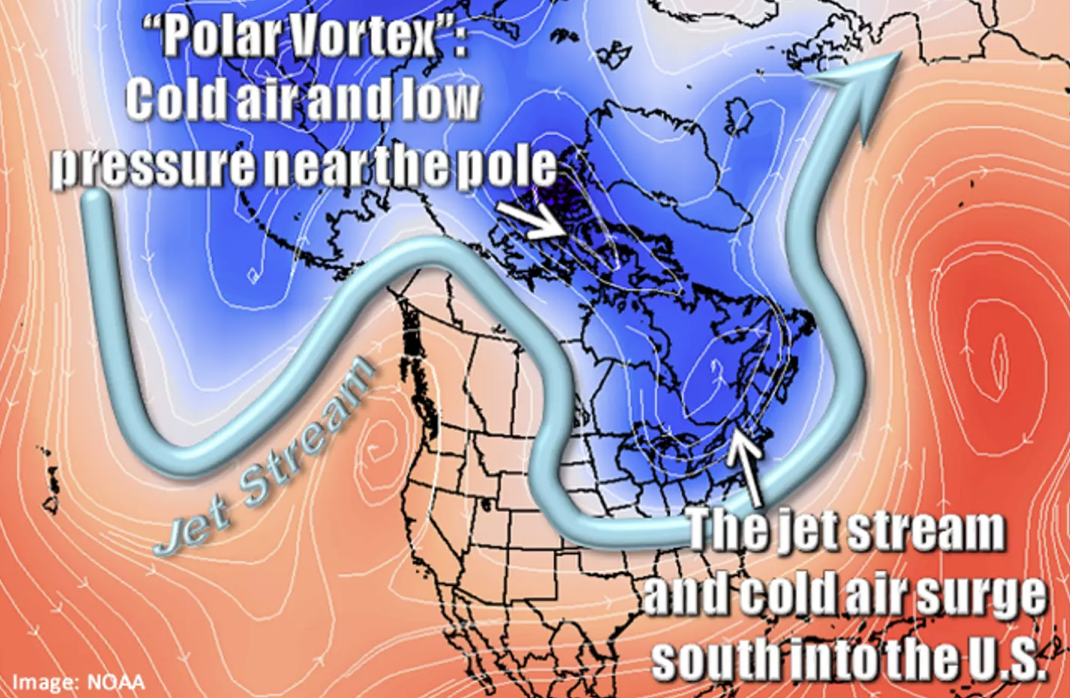
What is the polar vortex?
The National Weather Service defines a polar vortex as ‘a vast region of low pressure and frigid air encompassing both of the Earth’s poles,’ which ‘ALWAYS occurs near the poles but decreases in summer and intensifies in winter.’.
“The name ‘vortex’ refers to the counterclockwise movement of air that keeps colder air toward the poles. During winter in the northern hemisphere, the polar vortex frequently expands, pushing frigid air south with the jet stream (see figure above).
“This occurs fairly regularly during wintertime and is often associated with large outbreaks of Arctic air in the United States.”
Cold outbreaks induced by the polar vortex happened in 1977, 1982, 1985, 1989, and January 2014; therefore, they are ‘not something new.'”. Not only the United States, but also portions of Europe and Asia experience frigid surges associated with the polar vortex.
The National Weather Service reassures that “there is no reason to be alarmed when you hear about the polar vortex,” but “you should be prepared for colder temperatures,” which can be lethal if not taken properly.
Temperatures and locations will be altered.
The National Oceanic and Atmospheric Administration (NOAA) reported that “an Arctic air mass is expected to plunge into the Central US this week,” bringing “record-breaking cold with dangerous wind chills as low as -60°F,” according to a message posted on Twitter by the NWS Weather Prediction Center.
The tweet on Twitter on February 17 continues, “Heavy snow is expected from Kansas to Missouri on Tue, with snow and ice impacting North Carolina and southeastern Virginia on Wed.”
It warns that ‘wind chills’ may reach ‘-30°F’ to ‘-60°F’ and ‘linger for several days,’ with the conditions potentially inflicting ‘frostbite within minutes.’.
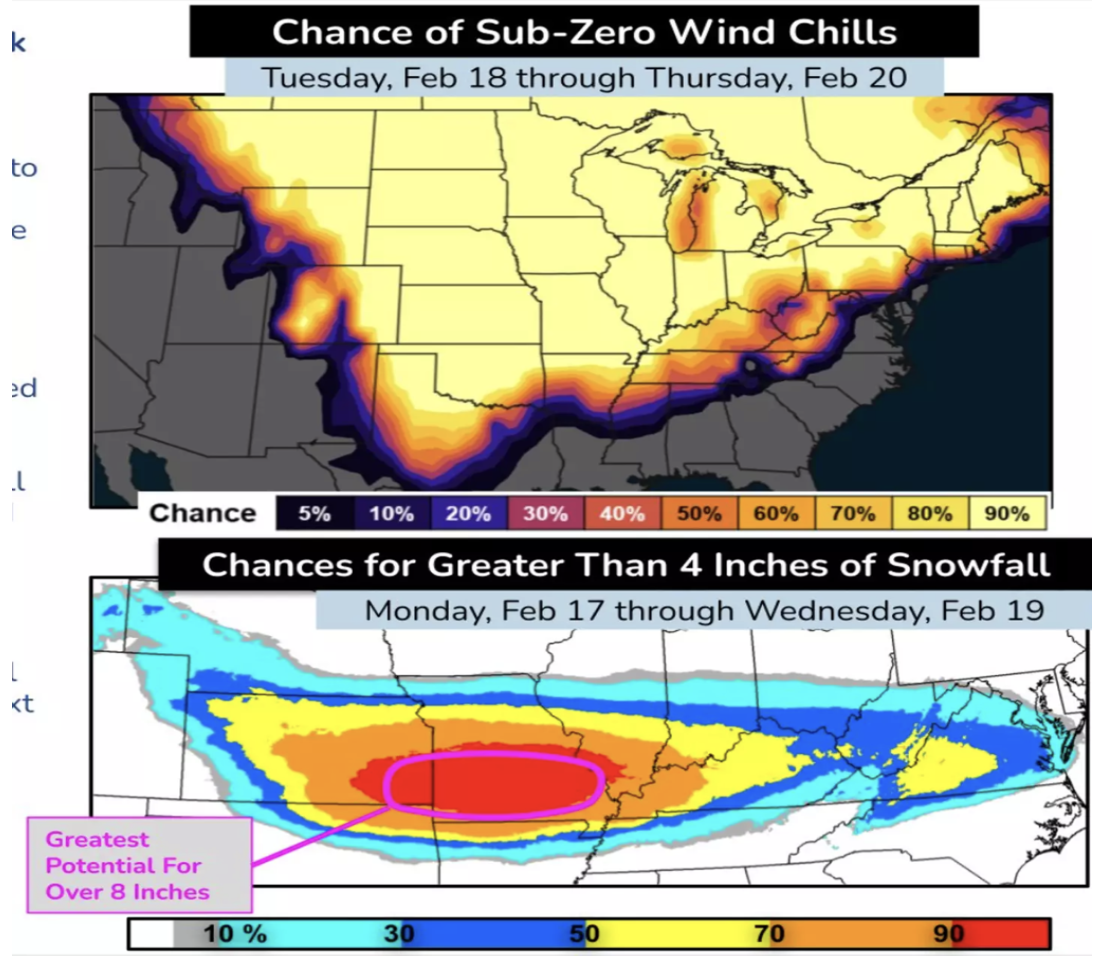
“Snowfall rates of 1″/hr may result in at least eight inches of accumulation (more than 60% possibility),” which may produce hazardous driving conditions,’ particularly if the snow is blown or drifts.
The National Weather Service advises, “Check the prediction for your location on weather.gov to ensure you are properly dressed. It is also a good idea to review the contents of your home and auto emergency kits at the start of each winter season to ensure you are prepared for any form of severe winter weather.”